GPS Technology Explained Step by Step: Complete Beginner Guide
Global Positioning System, commonly known as GPS, has become an essential part of modern life. From navigation apps and vehicle tracking systems to smartphones, aviation, and emergency services, GPS technology helps people determine their location and find accurate directions anywhere in the world.
Although GPS is used daily by billions of people, many do not understand how this technology actually works. Behind a simple map location or navigation instruction is a complex system involving satellites, signals, receivers, and advanced calculations.
This beginner-friendly guide explains GPS technology step by step, including how it works, its main components, applications, benefits, and future developments.
What Is GPS Technology?
GPS is a satellite-based navigation system that allows devices to determine their exact location on Earth. It works by using signals transmitted from a network of satellites orbiting the planet.
The system can provide information about location, speed, direction, and time. GPS technology does not require users to transmit their own signals. Instead, GPS receivers receive signals from satellites and calculate their position based on the information received.
Originally developed for military purposes, GPS has become widely available for civilian use and now supports numerous industries and everyday activities.
History and Development of GPS
The development of GPS began in the 20th century when scientists and engineers looked for more accurate navigation methods.
The United States Department of Defense developed the GPS system, which became operational for military use before being expanded for civilian applications.
Over time, improvements in satellite technology, computer systems, and digital communication made GPS more accurate and accessible. Today, GPS is integrated into smartphones, vehicles, wearable devices, and many professional systems.
How GPS Works: The Basic Principle
GPS works through a process called trilateration. This method calculates a receiver’s location by measuring the distance between the receiver and multiple satellites.
The GPS system consists of three main parts: satellites in space, control stations on Earth, and GPS receivers used by people.
Satellites continuously send signals containing information about their position and the exact time the signal was transmitted. A GPS receiver collects these signals and calculates how far away each satellite is.
By comparing signals from multiple satellites, the receiver determines the user’s precise location.
Step 1: GPS Satellites Send Signals
The first step in GPS operation begins with satellites orbiting Earth.
The GPS satellite network consists of multiple satellites positioned around the planet to ensure that signals are available almost anywhere on Earth.
Each satellite continuously broadcasts radio signals containing important information, including its current position and the exact time.
These signals travel through space at the speed of light and reach GPS receivers on Earth.
Step 2: GPS Receiver Collects Information
The second step involves the GPS receiver. This device can be found in smartphones, navigation systems, vehicles, smartwatches, and other electronic equipment.
The receiver listens for signals from available GPS satellites. It identifies each satellite and records the time taken for signals to travel from the satellite to the device.
A single satellite signal can provide distance information, but multiple satellite signals are required to calculate an accurate position.
Step 3: Calculating Location Through Trilateration
Trilateration is the mathematical process used by GPS receivers to determine location.
When a receiver connects with signals from multiple satellites, it calculates the distance from each satellite.
Signals from three satellites can help determine a two-dimensional location, including latitude and longitude. A fourth satellite is usually needed to calculate altitude and improve accuracy.
By combining information from several satellites, GPS systems can identify the exact location of a device.
The Three Main Components of GPS
GPS technology depends on three major components that work together to provide accurate positioning.
The first component is the space segment, which includes GPS satellites orbiting Earth. These satellites transmit signals that contain location and timing information.
The second component is the control segment, which includes ground-based monitoring stations. These stations track satellites, update their positions, and maintain system accuracy.
The third component is the user segment, which includes GPS receivers used by individuals, businesses, and organizations.
All three components must work together for reliable GPS performance.
Why Accurate Timing Is Important in GPS
Time plays a critical role in GPS technology. The system depends on extremely accurate timing because even a tiny difference in signal timing can affect location calculations.
GPS satellites contain highly accurate atomic clocks that help maintain precise time measurements.
The receiver compares the transmission time of signals with the arrival time to calculate distance. Accurate timing allows GPS systems to determine locations with high precision.
GPS Accuracy and Factors Affecting It
Modern GPS technology can provide highly accurate positioning, but several factors can influence performance.
Atmospheric conditions can slightly delay satellite signals as they travel through the Earth’s atmosphere. Buildings, mountains, trees, and other obstacles can also interfere with signal reception.
Urban areas with tall buildings may experience reduced accuracy because signals can reflect off structures before reaching the receiver.
Improved satellite systems, advanced receivers, and additional positioning technologies help reduce these errors.
Common Uses of GPS Technology
GPS technology is used in many areas of modern life.
Navigation is one of the most common applications. Mapping applications use GPS to provide driving directions, estimate travel times, and help users find locations.
Transportation companies use GPS for vehicle tracking, route optimization, and fleet management.
Aviation and marine industries rely on GPS for accurate navigation and safety.
Emergency services use GPS to locate people quickly during rescue operations.
Agriculture uses GPS technology for precision farming, helping farmers improve productivity and resource management.
GPS in Smartphones
Smartphones have made GPS technology available to almost everyone.
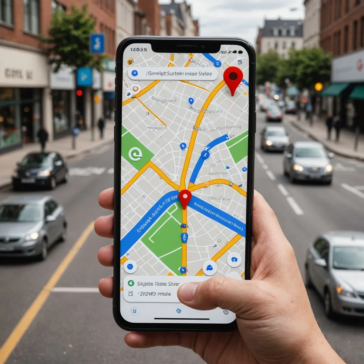
Modern smartphones combine GPS with other technologies such as Wi-Fi positioning, mobile networks, and sensors to provide accurate location services.
Applications use GPS for navigation, food delivery, ride-sharing, fitness tracking, weather updates, and location-based services.
The integration of GPS into smartphones has transformed how people travel, communicate, and interact with digital services.
Benefits of GPS Technology
GPS provides many advantages across personal, commercial, and professional activities.
One major benefit is improved navigation. GPS helps people find routes, avoid traffic, and reach destinations efficiently.
It improves safety by supporting emergency response services and tracking systems.
Businesses benefit from GPS through better logistics management, reduced fuel consumption, and improved operational efficiency.
GPS also supports scientific research, environmental monitoring, and disaster management.
Limitations of GPS Technology
Although GPS is highly useful, it has certain limitations.
GPS requires signals from satellites, so performance may decrease in areas with obstacles or limited visibility of the sky.
Indoor locations, underground areas, and dense urban environments can make GPS accuracy challenging.
GPS devices also require power, and continuous location tracking may consume battery life on portable devices.
Understanding these limitations helps users use GPS technology more effectively.
Difference Between GPS and Other Navigation Systems
GPS is one of several global navigation satellite systems available today. Other countries have developed similar systems to improve worldwide positioning capabilities.
Different satellite navigation systems operate using similar principles but may use different satellites and technologies.
Modern devices often combine signals from multiple navigation systems to improve accuracy and reliability.
The Future of GPS Technology
GPS technology continues to improve with advancements in satellite design, artificial intelligence, and digital communication.
Future GPS systems are expected to provide greater accuracy, faster positioning, and improved reliability.
Emerging technologies such as autonomous vehicles, smart cities, drone delivery systems, and advanced robotics will depend heavily on accurate positioning technology.
As technology develops, GPS will continue playing an important role in connecting people, devices, and services worldwide.
Conclusion
GPS technology has transformed the way people navigate and interact with the world. From simple directions on smartphones to advanced applications in transportation, agriculture, aviation, and emergency services, GPS has become an essential part of modern society.
The technology works through a combination of satellites, ground control systems, and GPS receivers that use precise timing and mathematical calculations to determine location.
Understanding how GPS works helps users appreciate the complex technology behind everyday navigation tools. As GPS continues to evolve, it will remain a powerful technology supporting innovation, safety, and connectivity in the future.